
Geosignia
Turn EXIF GPS data into readable photo watermarks
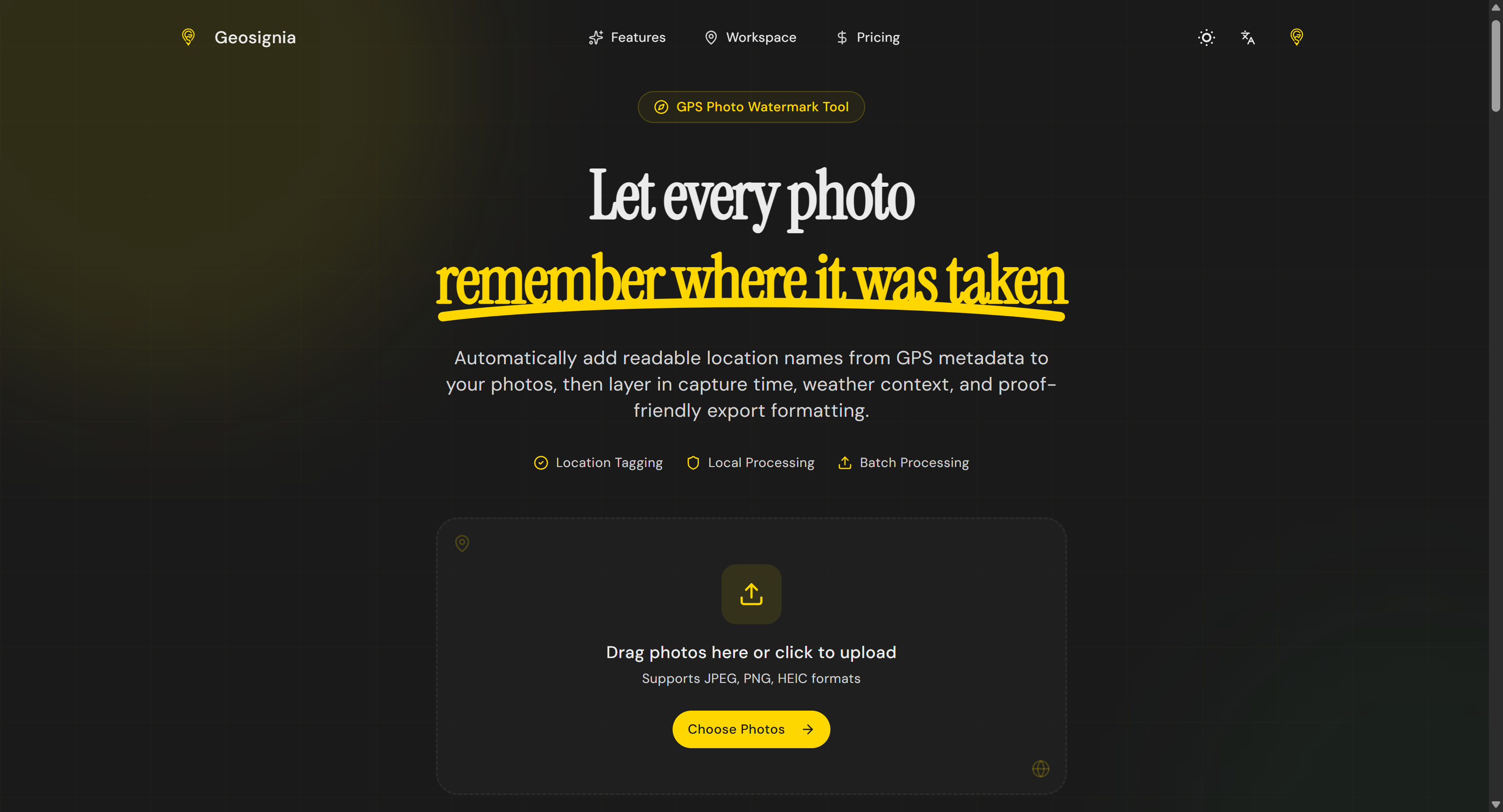
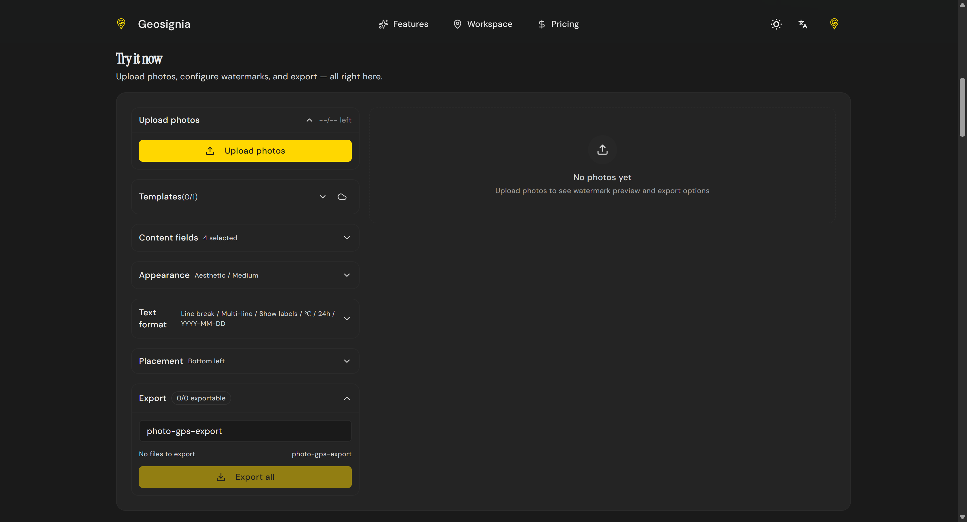
Geosignia turns hidden photo GPS metadata into readable overlays. Extract coordinates, convert them to place names, and apply custom watermarks with date, time, and weather context. Featuring batch processing and reusable templates, it is built for travel journals, outdoor documentation, and field teams needing proof-friendly imagery directly in the browser.

“what does not kill me makes me stronger”
Reviews (0)
No reviews yet
Be the first to predict the death of this product!